
Here’s my response to a second set of images in the collection of the Canal Society of New York (CSNY). This set shows one of 32 aqueducts, once essential structures of the Erie Canal. Richmond Aqueduct ruins are located only a half dozen miles from the Samuel Center. With 31 arches and at 840′, it was the second longest aqueduct in the system. It gets its name from state engineer and surveyor, Van R. Richmond.

This is a circa 1900 view showing an approaching team on the towpath, coming from the west. Cargo, ownership, destination all unknown.

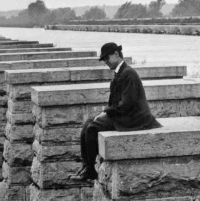
This image shows a well-dressed gentleman sitting on the opposite side of the aqueduct from the towpath.
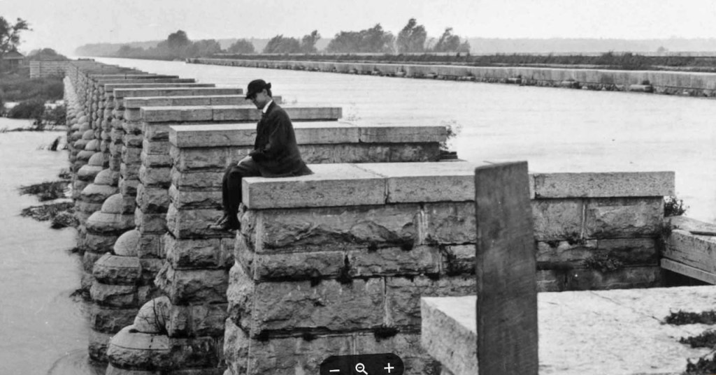
I’d love to know lots about these photos, this man, and the photographer. It seems odd that this person is sitting here, but that’s because I have no context or names. Maybe someone seeing this blogpost might have a clue.
From June 1911, this is the interior of the structure. We’re looking east. Was the wooden trunk drained for maintenance? How frequently was it drained?

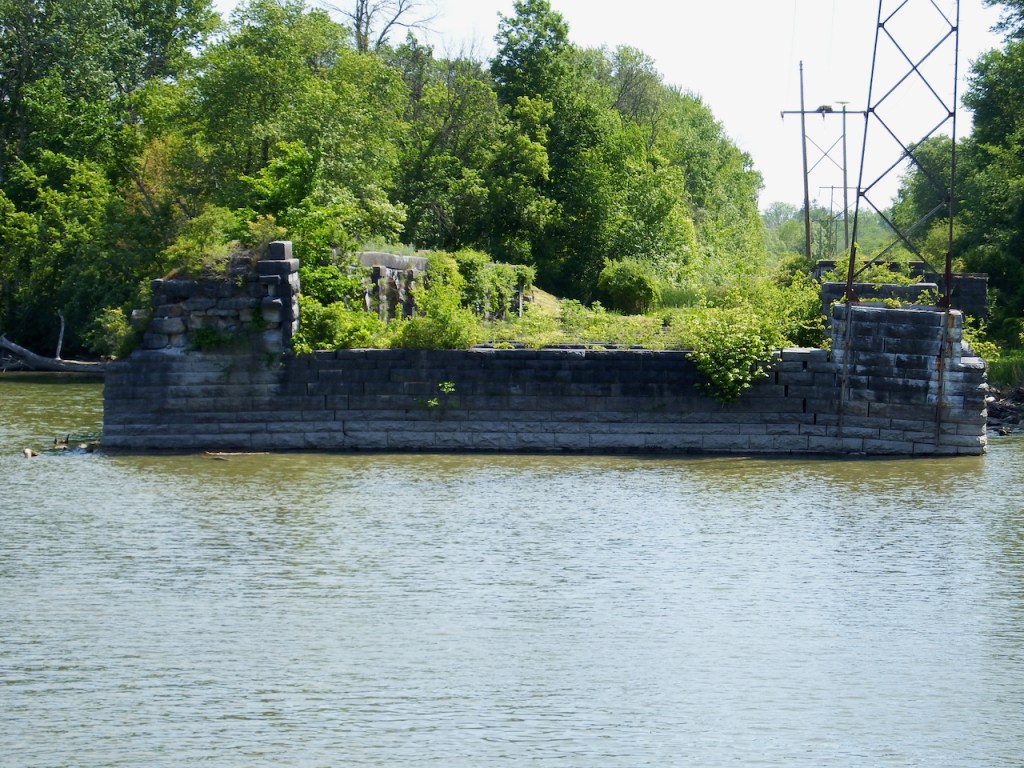
Part of the aqueduct was torn down in 1917 to allow the transformation of the Erie Canal to the Barge Canal. What had been essential for over 60 years became obsolete. In the photo below, which I took in May 2021, I’m looking “east;” the towpath was once to the left. Stonework quarried in Fayetteville, Amboy, and Onondaga, assembled here, and now abandoned for more than a century still looks elegant.
Jim Kerins took this photo by drone in February 2017, looking southwest toward the intersection where the Cayuga-Seneca Canal joins the main Erie.

The Erie Canal was originally designed to carry boats over natural bodies of water. See more here. CSNY has many images of and plans for aqueducts in the collection.

Leave a comment