I put Google pegman on the County Road 57 bridge to report back on seeing a “semi-circular fixed crest ogee spillway and a curved sloping apron on the downstream face.” See page 6 here. He reported back that if you try hard enough, you can imagine all that, some distance beyond the row of orange safety buoys to warn boaters of the dangers of being swept over the dam. To the left, note the approach wall on the upstream side of lock O-5.
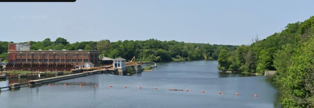
Below and from the deck of an upbound ship inside lock O5 in October 2019, the horseshow shape of the dam is easy to see. Above the dam, notice the orange safety buoys and the east end of the County Road 57 bridge, aka the Minetto Bridge Road. Image how this piece of the Oswego River looked in 1910?


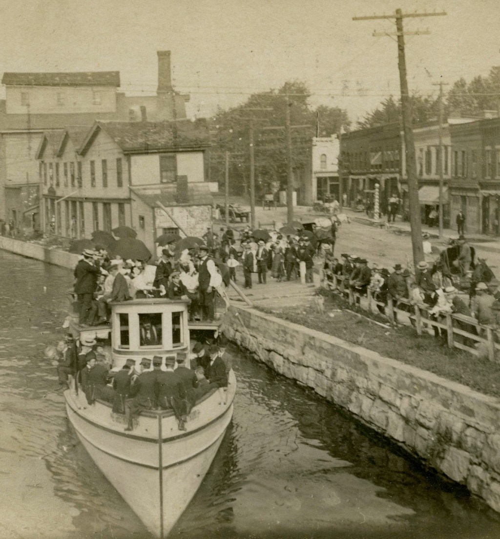
Citing page 7 of the document here, “Minetto Dam and Lock O-5 were constructed 1911- 14 under Contract 37,” I’d put the date of the image closer to the beginning of that range and the view is looking east across the river.

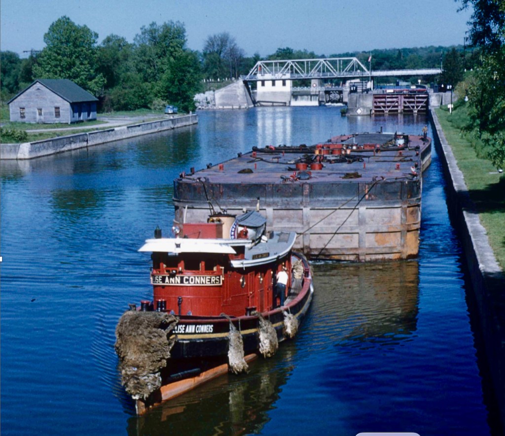
Folks of a century or more ago would have a hard time imagining the view from that upbound cruise ship.


Leave a comment