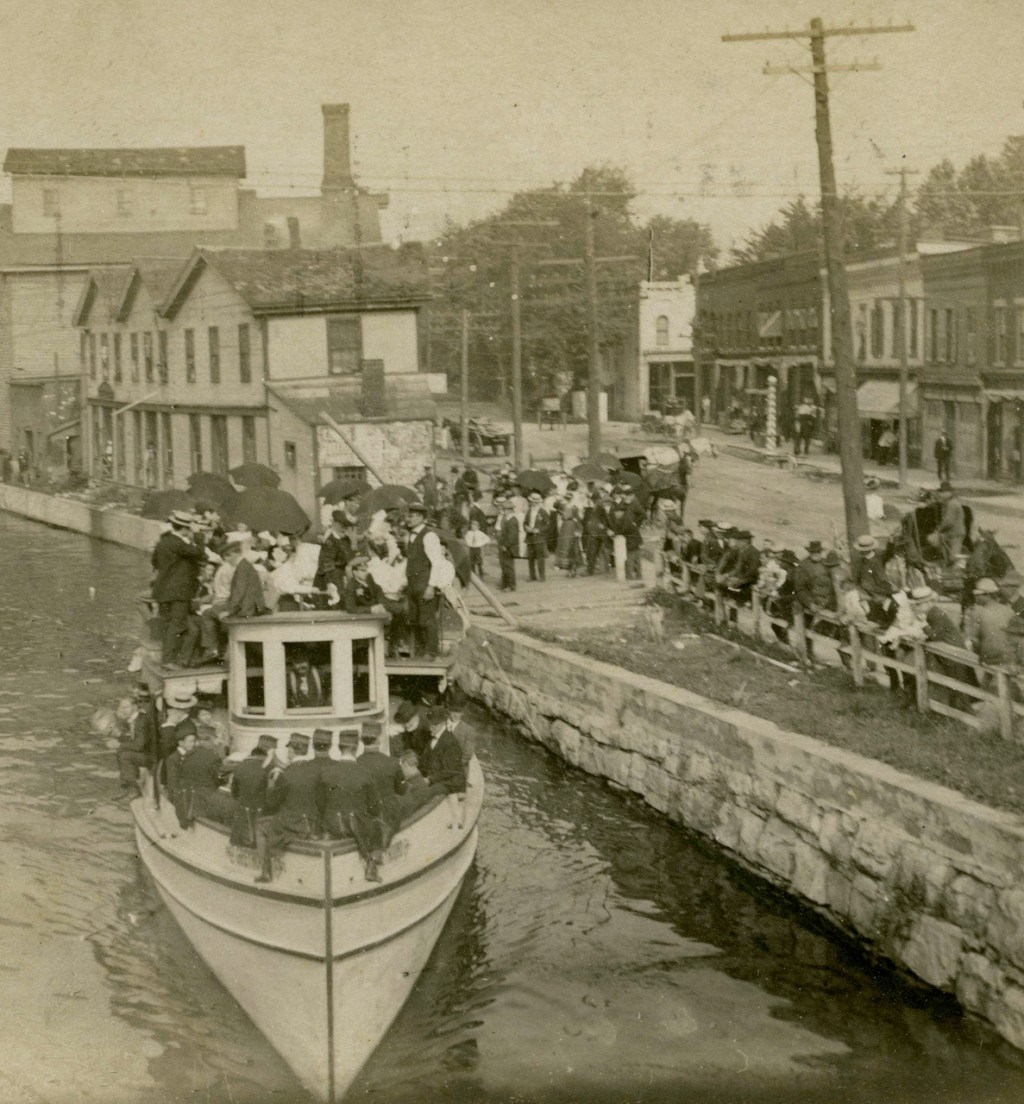
This glass plate negative view captures a long-gone vista from the top of a drumlin just north of the intersection of 5&29 and Rt 90 looking north with Cayuga-Seneca Canal in foreground and the Richmond Aqueduct in the distance. The detail in the print is so dense that initially I couldn’t locate the aqueduct. Can you?

I gather the drumlin was grazed clear by the farm animals of the day. Today, many of the summits are covered in trees, since the need to hay has declined in the transportation sector. The people there appear to be enjoying a picnic. I wonder where they walked from and whether a draft animal waits nearby outside the frame of the photo.

Might the folks above have walked up from thios farm? given the longevity of Dutch barns in western and central NYS, might that barn or other structures in this image still stand?

Family names? Apple trees in the foreground? Did you eventually find the aqueduct?

All photos from the CSNY collections and cleaned up by Bill Hecht.

Leave a comment