You may remember the Cartophiles 2 post from a few months back. It focused on Steven Talbot’s project of compiling NYS canal-related maps, images, and texts into an interactive whole. It was his Covid-19 project that continues to evolve.
Steven is bringing updated digital maps of the Erie Canal in Wayne County to the Study Tour. You can view the maps during that time.
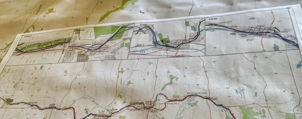
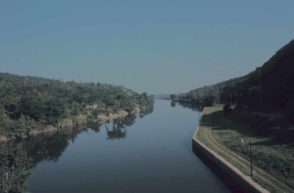
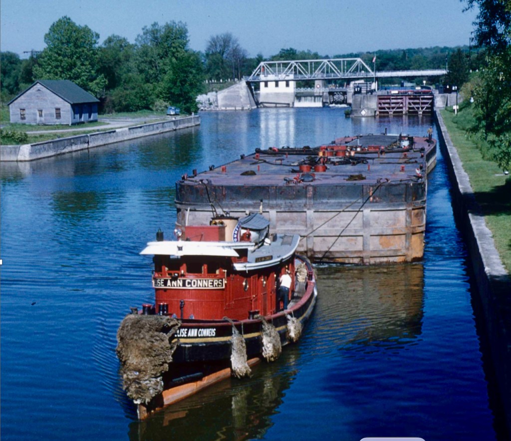
Steven writes, “The maps now include both the original Clinton’s Ditch and the Enlarged Erie Canal [1862 to early 1900s]. On these digital maps, the locations of the Enlarged Canal locks and aqueducts have been verified and matched to the tables in Noble Whitford’s 1906 publication, History of the Canal System of the State of New York. The tables in this work are among the best sources of infrastructure detail for the Enlarged Canal as the Barge Canal was coming online.”
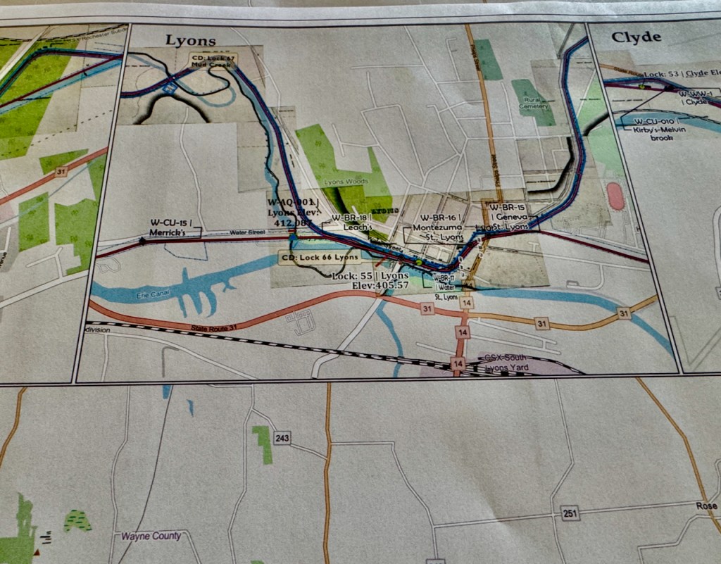
“The original Clinton’s Ditch maps were digitized from the 1836 Holmes Hutchinson maps by referencing and building upon the Schillner and Blue Line maps of the Enlarged Canal.”
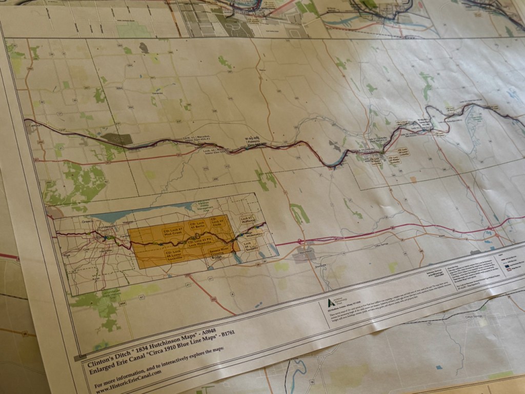
“Printed maps of the Erie Canal in Wayne County will be available to show the canal’s path along with the bridges, culverts, and waste weirs that supported its operation. Additionally, the digitizing of the Clinton’s Ditch clearly illustrates how the meandering path of the original canal was straightened and corrected during the enlargement process.”
Many thanks to Steven for his willingness to share this work-in-progress later this week. See you all there.

Leave a comment