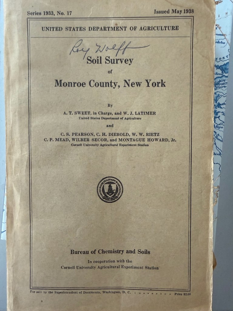
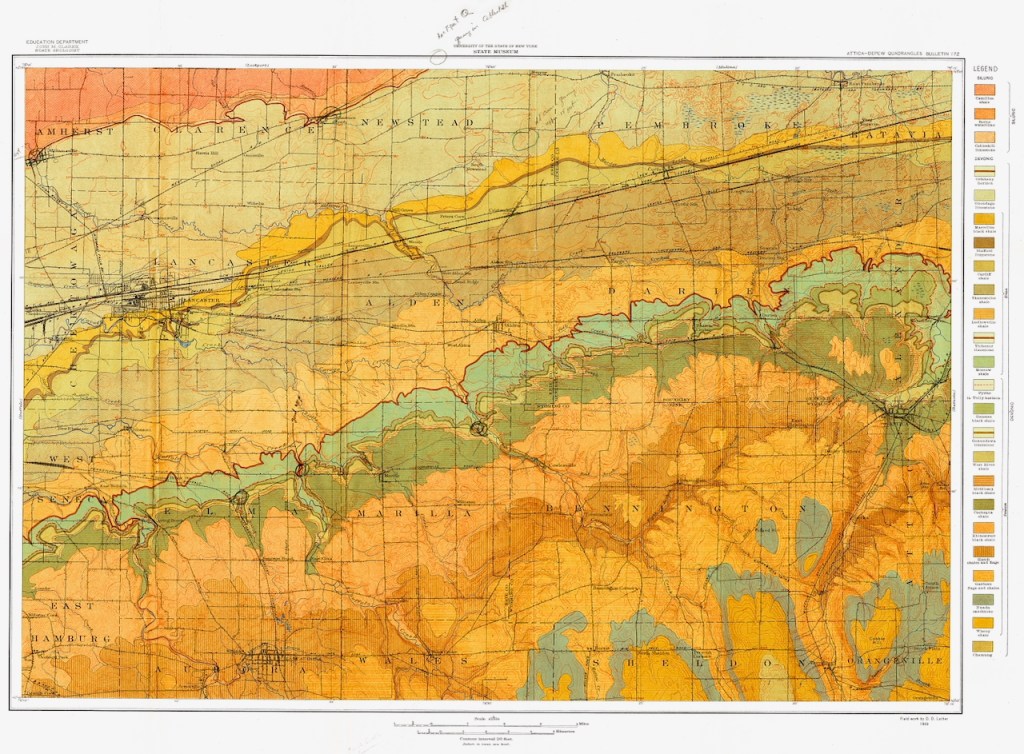
CSNY archives do not contain only photographs, although I could be content with all the photos there. There are also ledgers and other documents from mundane life. For all the cartophiles out there, CSNY holds maps–some annotated decades ago. The coloration on the map shows soil type, and are pages from
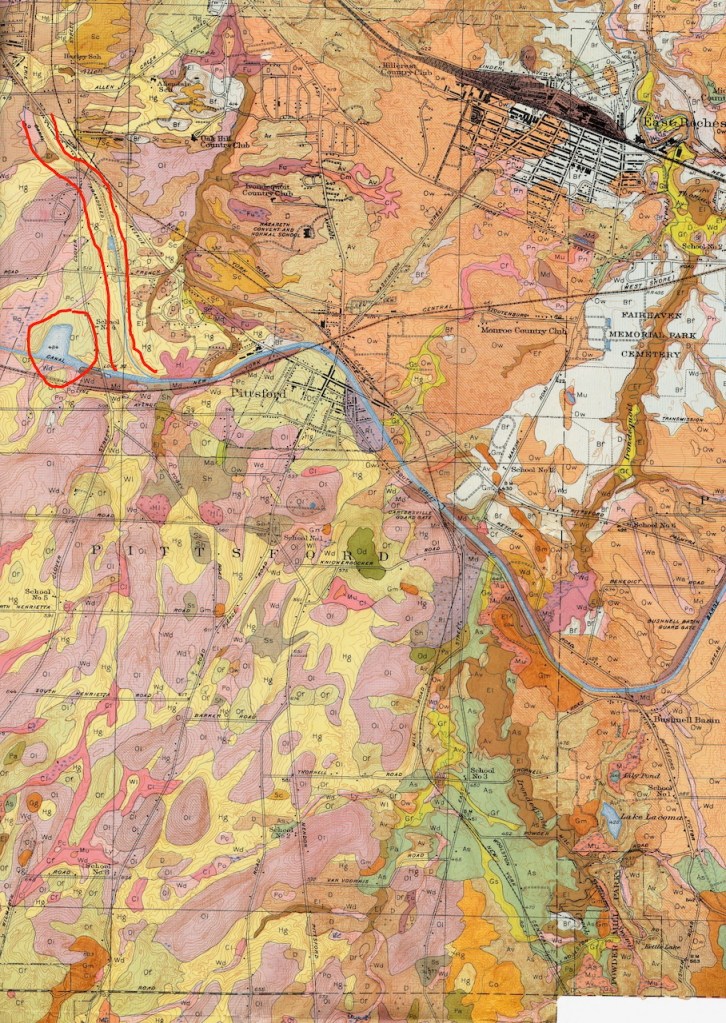
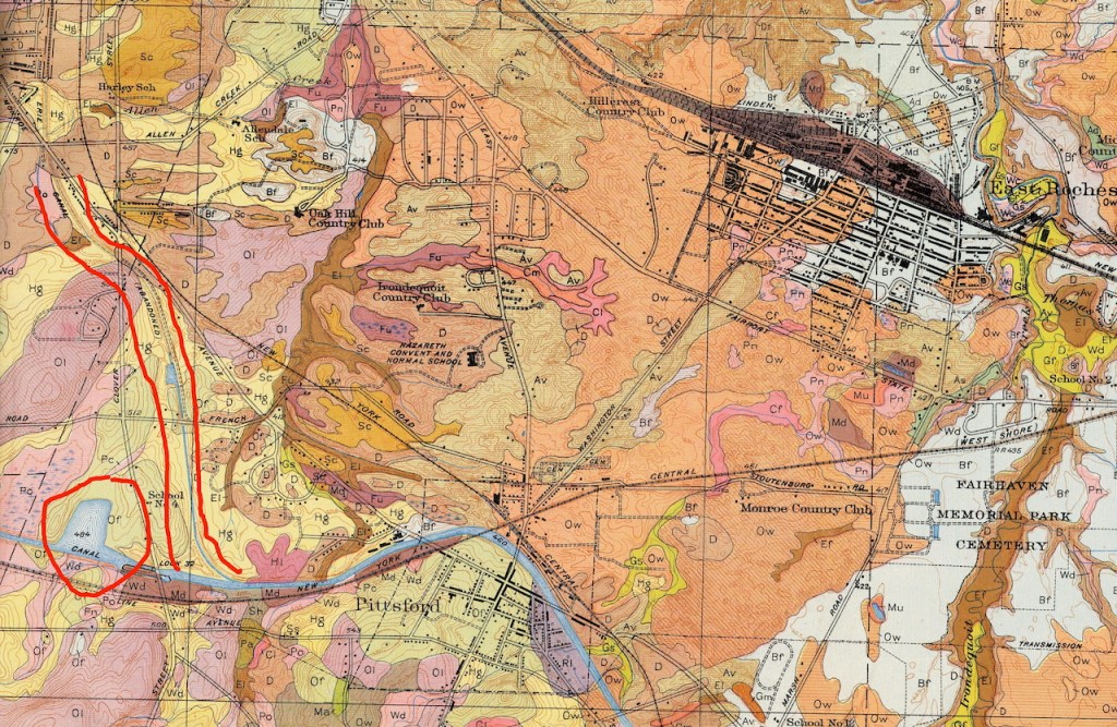
this volume, one of many publications generated by USDA and Cornell University.
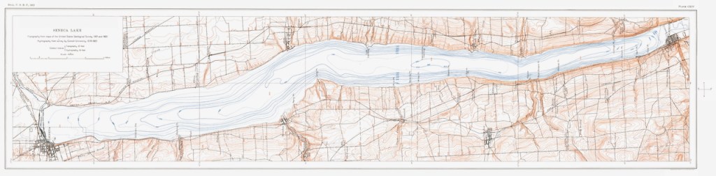
Another set of CSNY holdings illustrates the bedrock types in New York State, as below.


Then there are bathymetric charts from a century ago. It might be interesting to compare findings then with those generated by today’s technology. Another alternative might be to juxtaposed these charts, today’s charts, and findings from side scan sonar studies such as the ones mentioned here in August 2024.
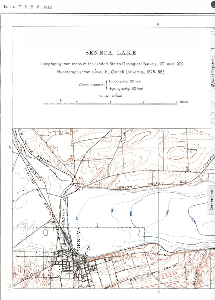

Many thanks to Bill Hecht for cleaning up these maps and charts, a cartophile’s paradise.

Leave a reply to will van dorp Cancel reply