Craig Williams took this photo of a ditch last week. It’s just a drainage ditch, right?
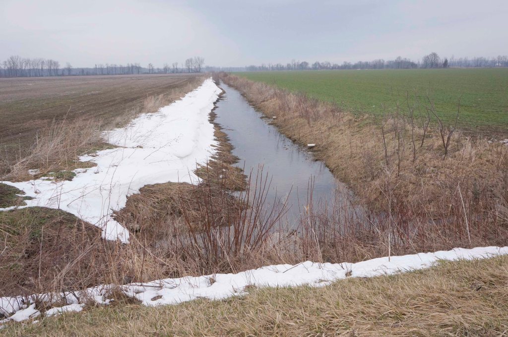
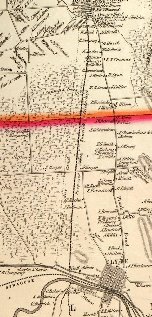
Wrong. It’s a vestige of the Sodus Bay Canal, a 25-mile proposed waterway which would have connected the Erie Canal with Lake Ontario and transformed Sodus Bay into a major port. On the 1853 map below, note the two lines heading northward from just west of [to the left of] Clyde.
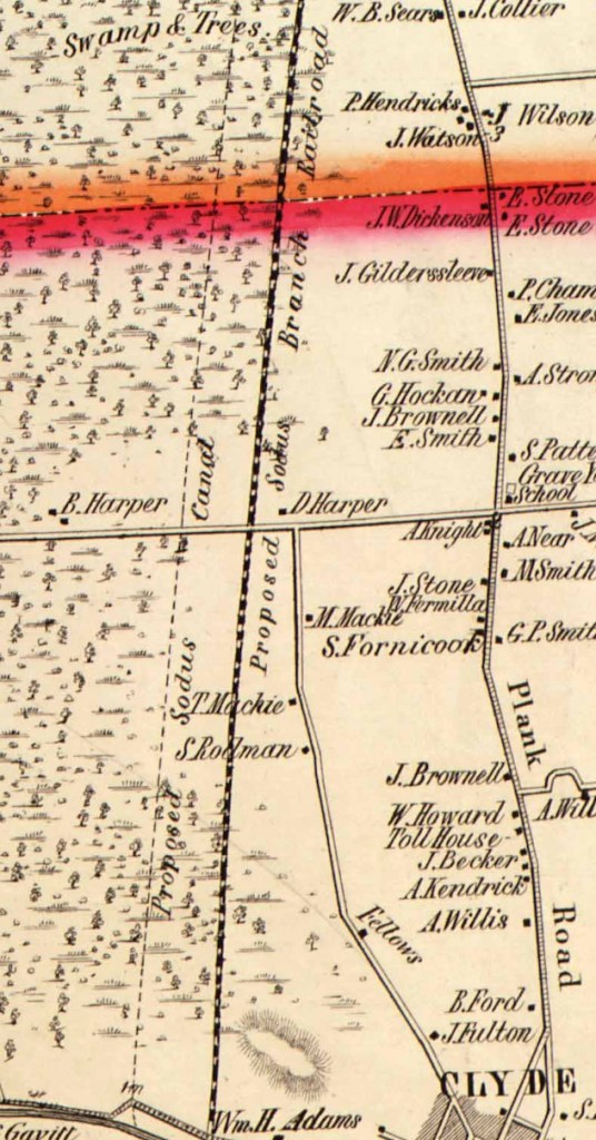
Here’s a little more context in that 1853 map.
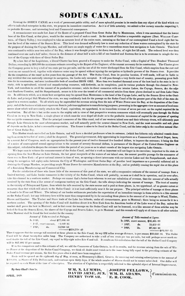
Here’s an 1829 call for investors in this project. You’ll likely have to enlarge it, but it’s quite interesting reading.
Below is an April 1970 Geneva Times article providing more information on the canal, as well as
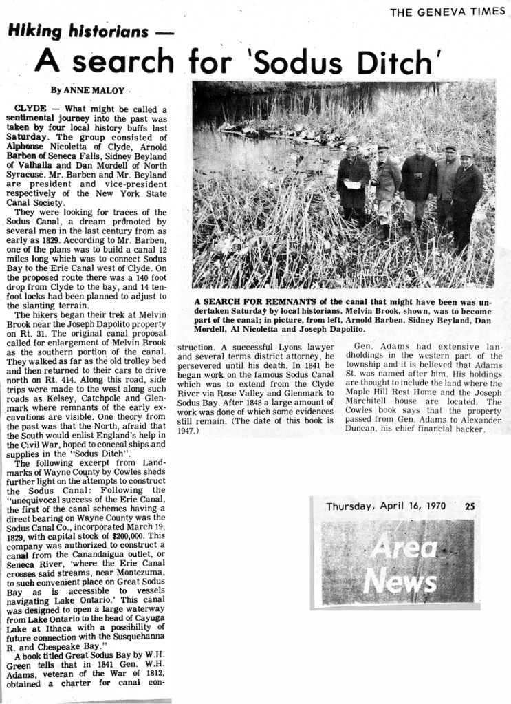
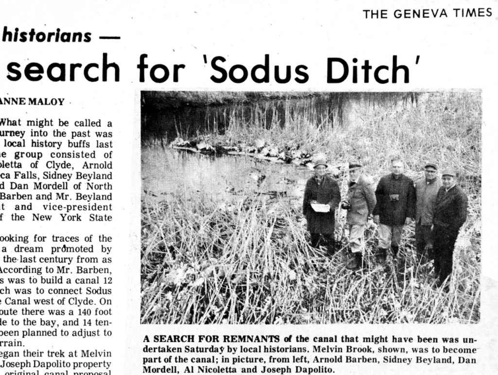
a close-up of some 1970 local historians in search of remnants of the canal.
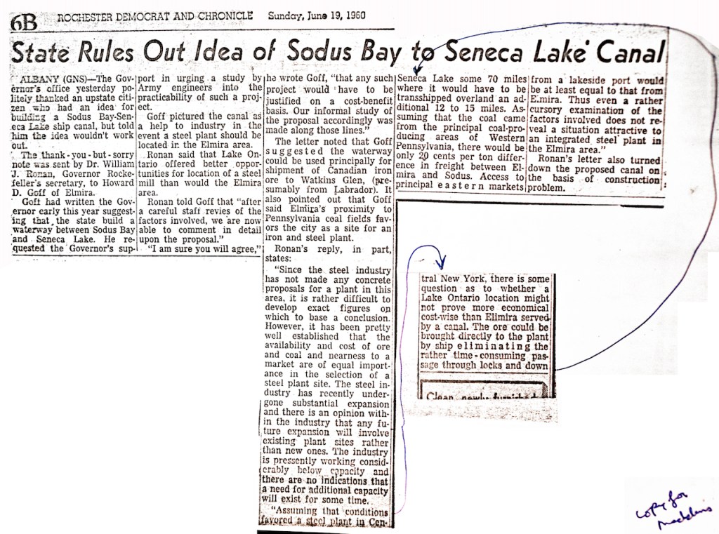
The 1960 Rochester D & C article below reports on the NYS response of “thank you but no” to a party again seeking to buld such a waterway between Seneca Lake and Sodus Bay.
This is one of the sights we’ll see on the Study Tour next week. Registration closes soon. To sign up for the April 3 and 4 tour, click here.


Leave a comment