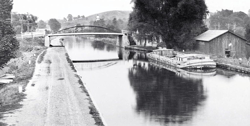
Here’s part of another photo from the CSNY archives. I’ll expand the range of the photo following this part.
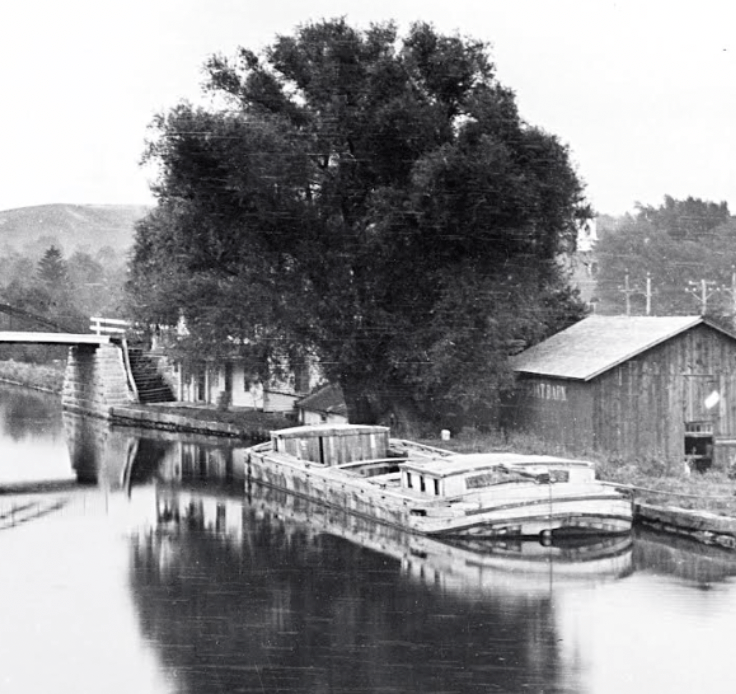
According to Mike Riley, it was “taken from what is now Rt 38, or Canal St., looking east toward the River Street bridge. You can also see the aqueduct narrowing just beyond.”
Port Byron of the past is richly represented in the photos of the CSNY collection. Sometimes I have a sense that these images are begging to be used as fodder for a three-dimensional model of the town long gone. To do so would require a team of artistically-gifted people and a vision. Maybe some steps would be to estimate the dates of the photos in the link above and then to identify who the key inhabitants in Port Byron then were so that a narrative could be devised, complete with goals and conflicts.
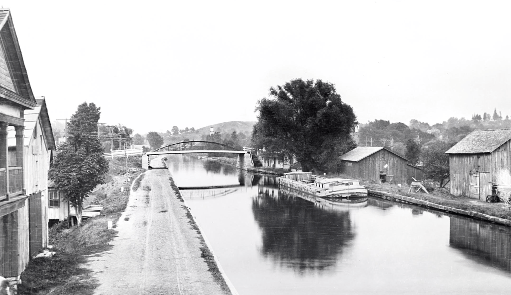
Many thanks to Bill Hecht for cleaning up these photos.


Leave a Reply