Note: Many thanks to Ted Olsen for these photos. Here was Report 1, featuring photos from Steven Talbot. I’m asking as I did with report 1 for some feedback as follows: 1) If you attended, please comment on one or more of these images and what impression the visit to that specific location left?
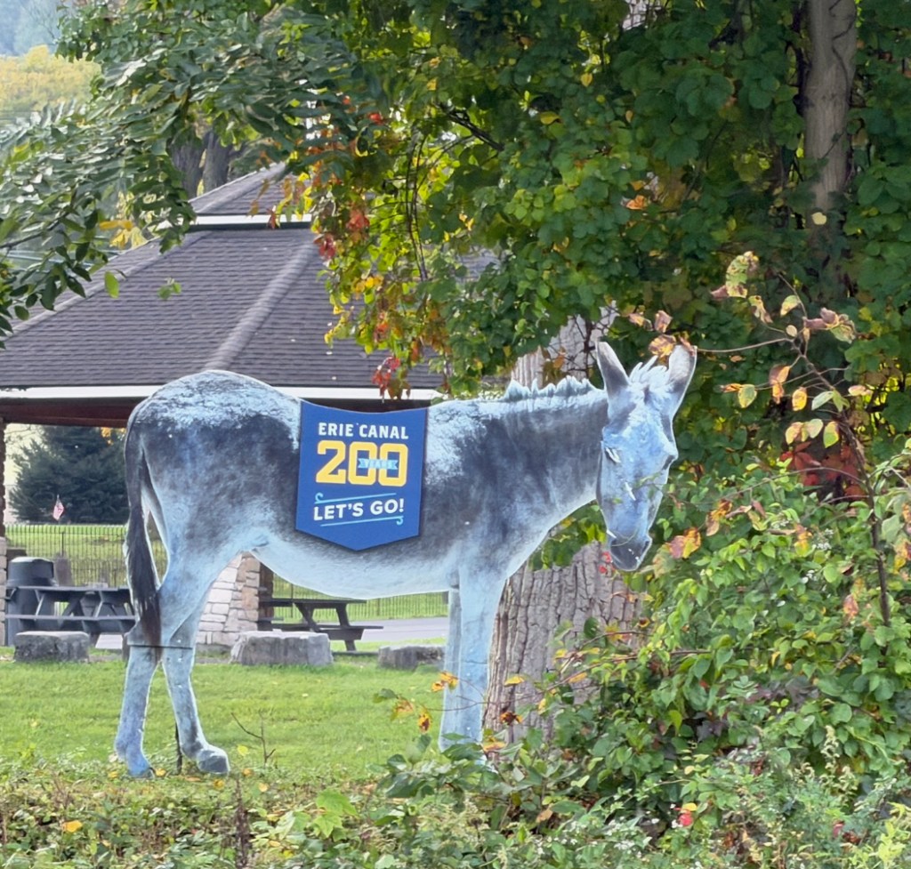
Let’s start with one of the historic symbols of the canal, one that’s out and about.
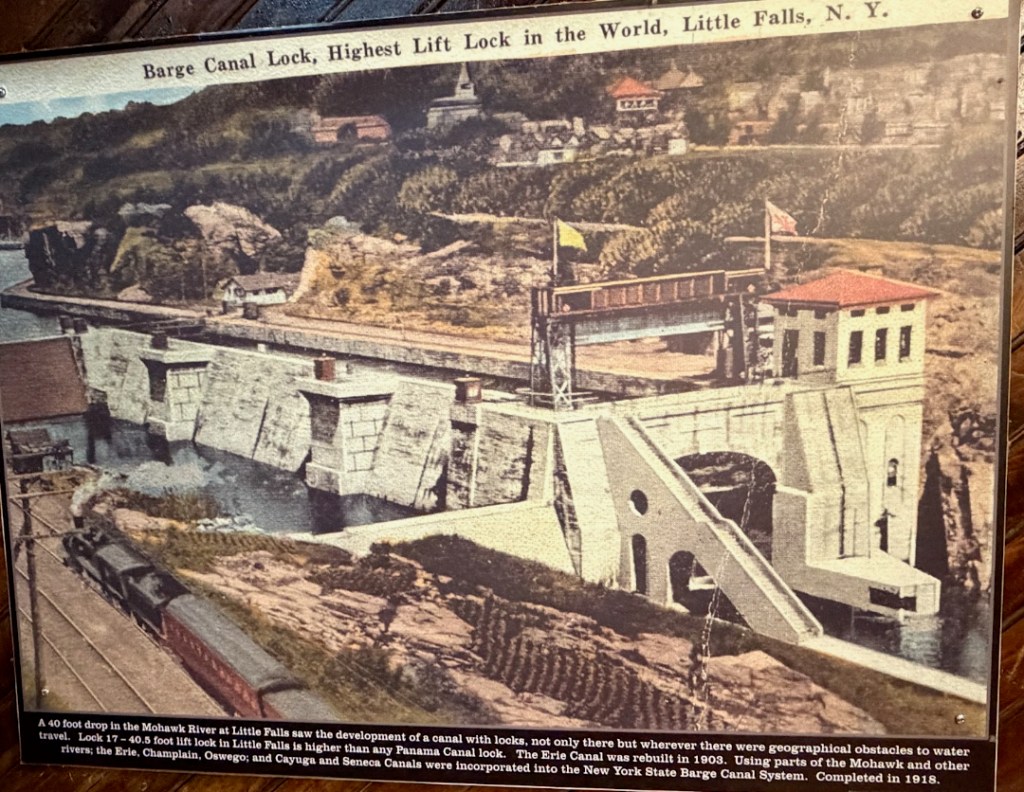
Below is the source of the city’s name. To adaptively quote from the Field Trip Guide, “The Western Inland Lock Navigation Company, chartered by the State in 1792, launched the first systematic attempts to improve navigation to the interior. through this location…. This private company tried to provide a predictable depth to the Mohawk by the use of wing dams. As small as they were, they were still remarkable undertakings for the time. The Little Falls Canal was commenced in 1793 and finished in 1795. Barely a mile long, it had five locks to compensated for the forty-foot change in elevation. Unfortunately, maintenance concerns dragged down the company’s investments. De Witt Clinton came through Little Falls in 1810 as part of the famous exploration for the proposed Erie Canal. He noted that in the preceding month (June 1810), 91 boats passed through Little Falls. ‘Two boats passed through the locks in our presence – one a Durham boat from Ithaca with potash, part of which came from Owego. This boat draws when full loaded, 28 inches of water,
and can carry 100 barrels of potash, or 250 of flour.’
Just a few years later, a more depressing description of the canal was expressed by another observer: ‘The site of this Village is very rocky and unpleasant, chosen for a place of business rather than pleasure … The locks and canal navigation of this river are subjects of less consideration than formerly, and much less than is generally imagined: because much less used. At present, nine tenths of the transportation of this country to and from Albany, is performed by land. The navigation by rapid
rivers is attended with great inconveniences, insuperable in a country of considerable population, having good roads.’
The company’s canal was purchased by the State in October 1821. The eastern half of the canal was incorporated as a feeder for the Clinton’s Ditch, reaching that waterway via the aqueduct over the Mohawk River.”
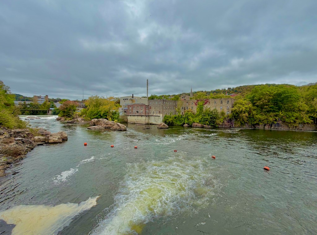
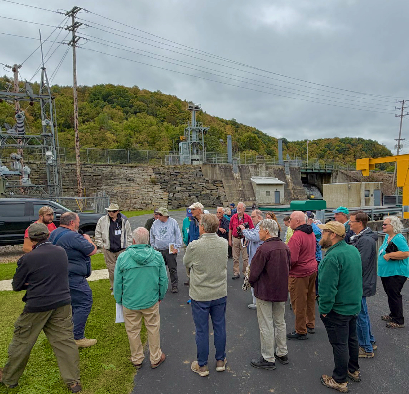
Today the Falls is the site of Eagle Creek’s Little Falls hydro, as explained by Frank Cowan, plant operator.
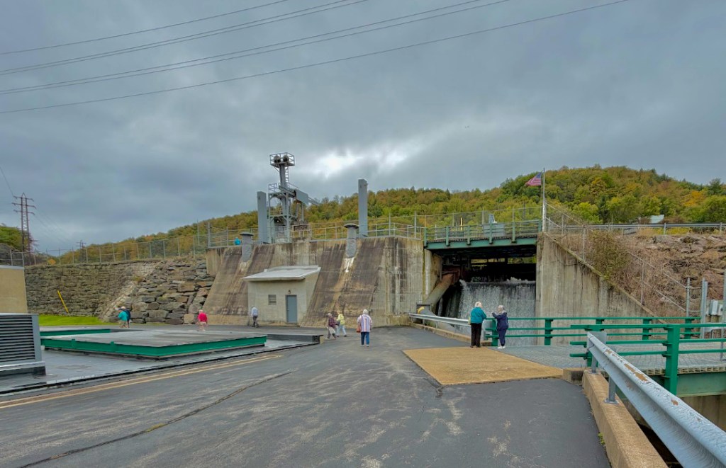
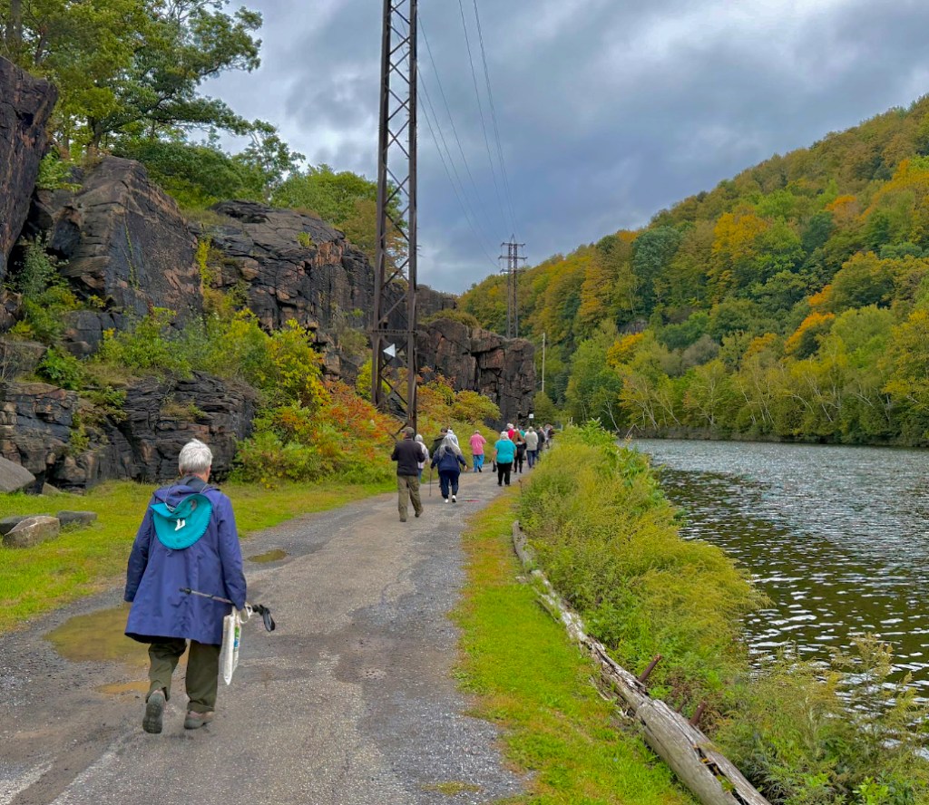
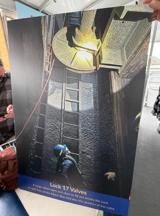
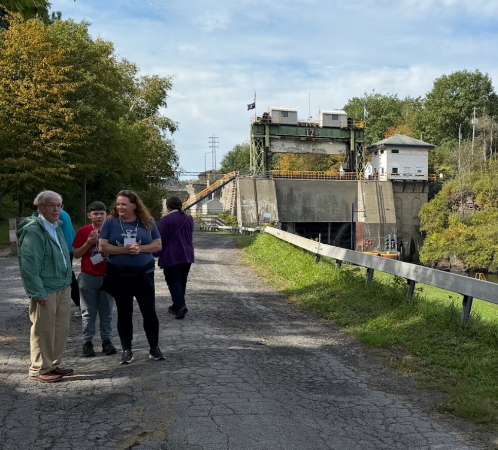
From the hydropower site, it was a picturesque trek over to Lock 17. The path is on Moss Island, worthy of some study itself for geological reasons. To the right to the water is the mainland, including the bike path.
The vintage signage is worth reading.
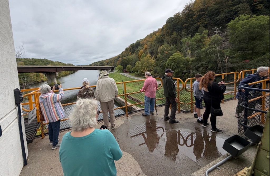
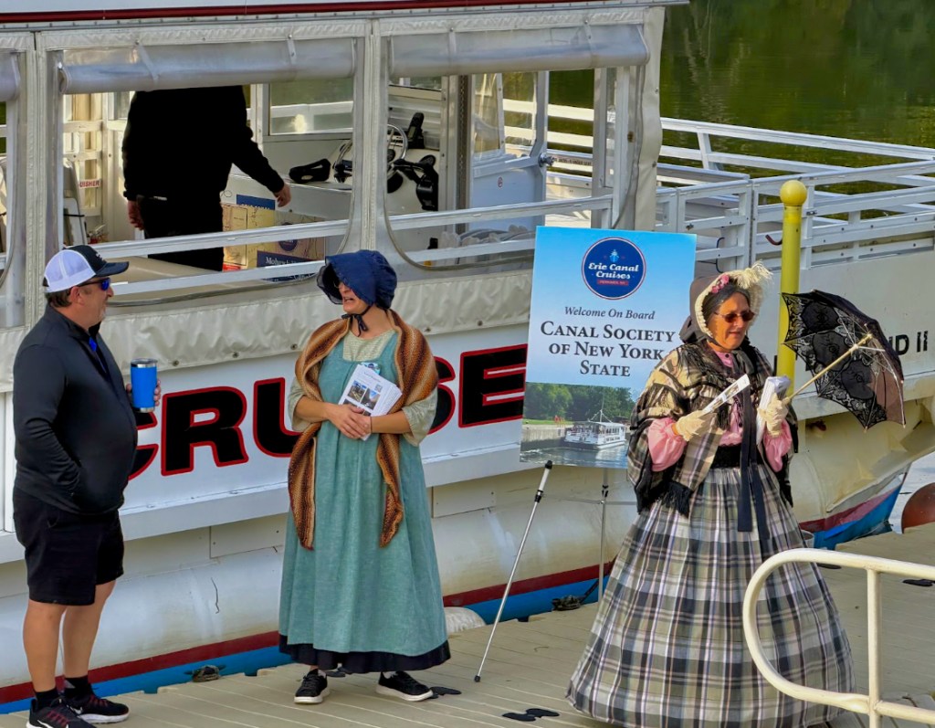
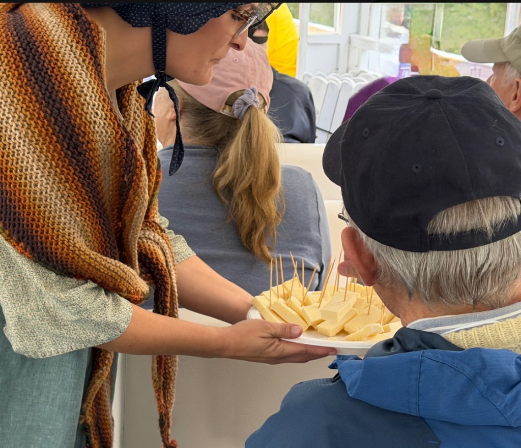
The Study Tour group was welcomed aboard Lil’ Diamond II by old-fashioned hospitality, which
of course includes cheese. A few days later was the Little Falls Cheese Fest.
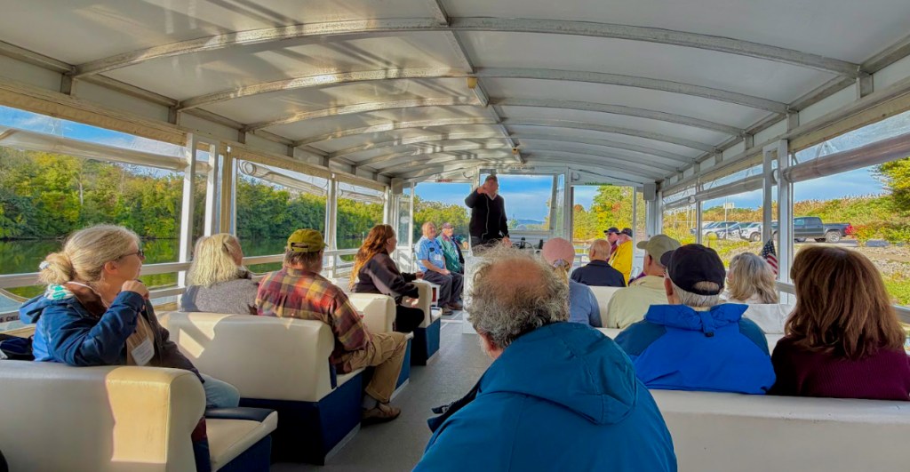
Scenery delighted, as
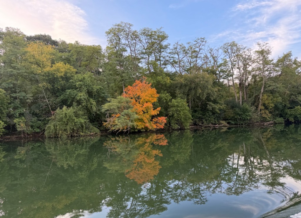
did commentary from Lil Diamond II‘s captain.
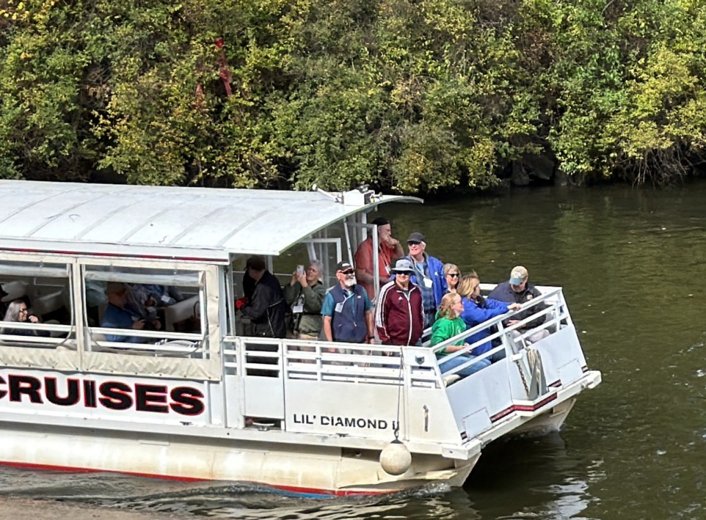
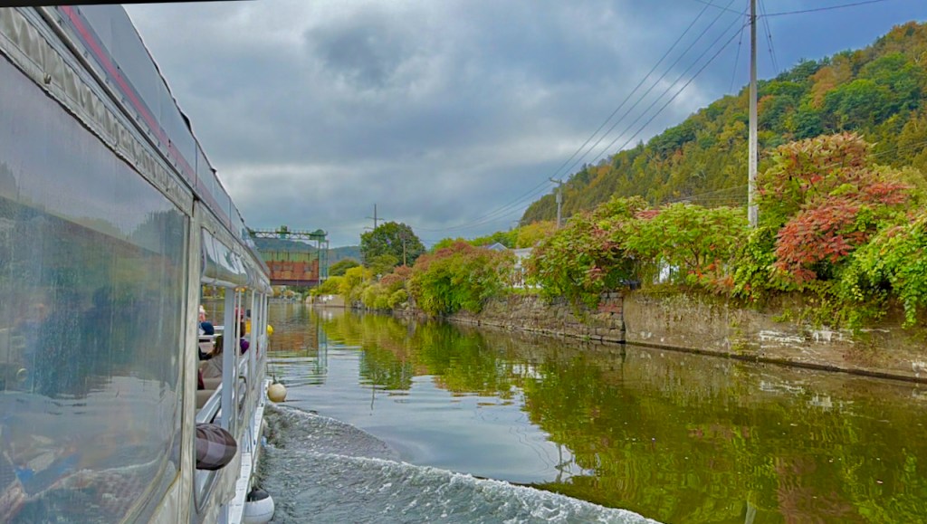
Lil Diamond II heads east.
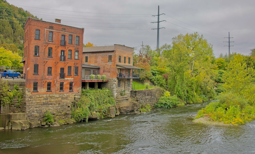
Eventually Fort Herkimer Church comes into view. To quote again from the Field Trip Guide, “The Fort started as the stone homestead of Johan Jost Herkimer, the father of Nicholas Herkimer. Both of the General’s parents were immigrants from the Palatine. Besides farming, Herkimer the father was very active in shipping freight along the Mohawk to Oswego corridor,
including portage service at Little Falls. Probably built around 1740, it was fortified by the start of the French and Indian War, probably not unlike the other fortified homesteads in the Mohawk Valley such as Fort Klock.“
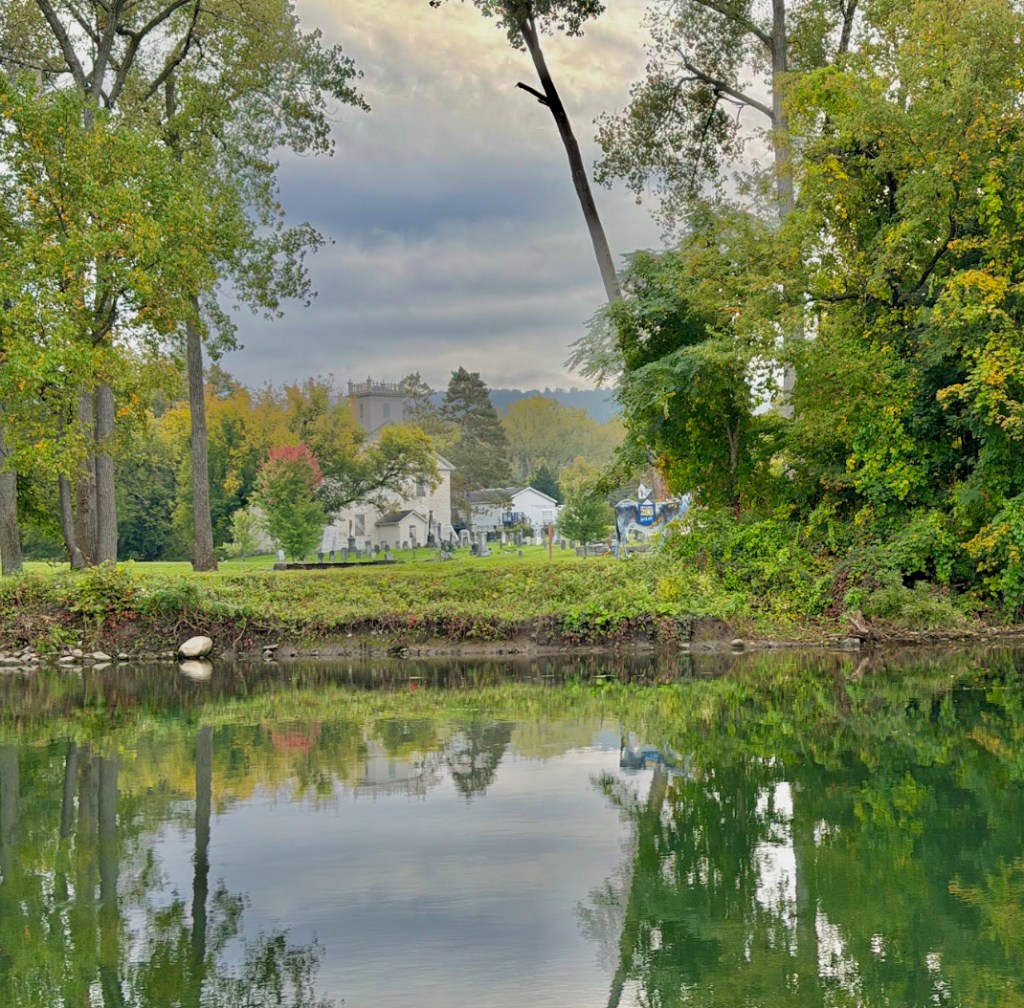
More about the inside of the church, including this organ, can be found here.
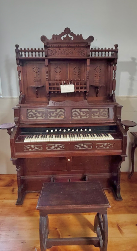
If you’ve not been to Herkimer house, it’s an important Mohawk Valley location.
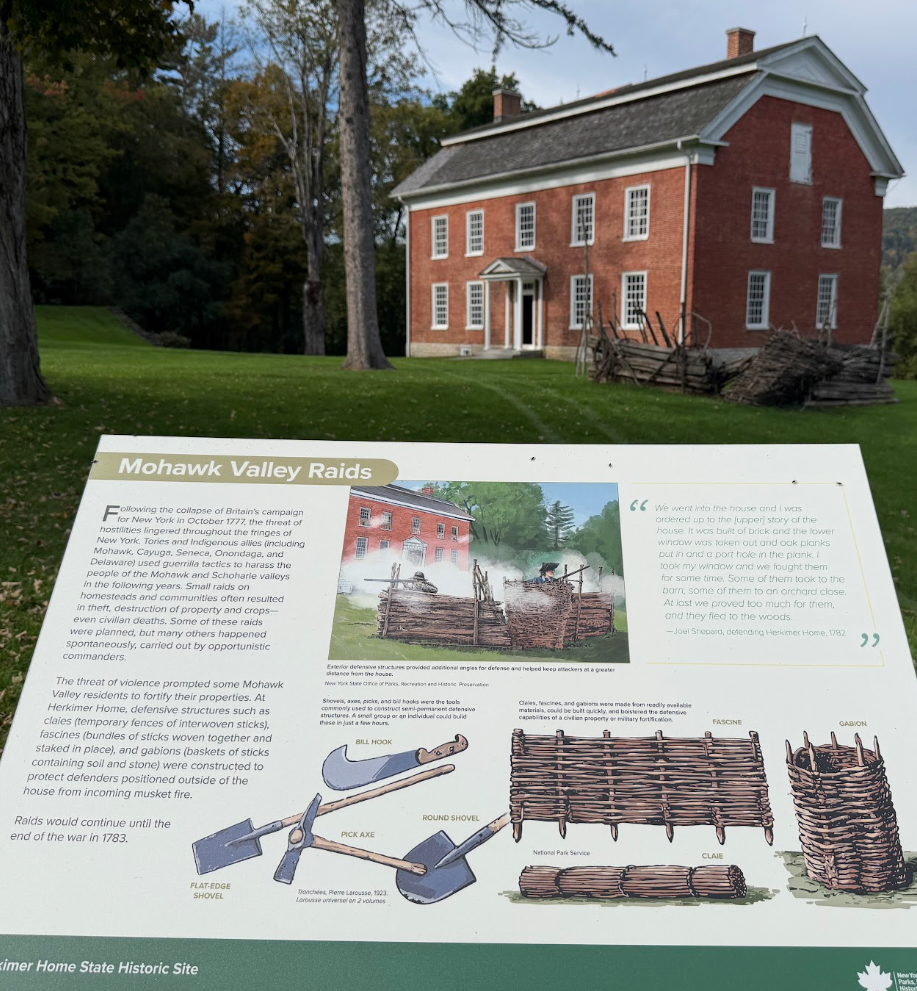
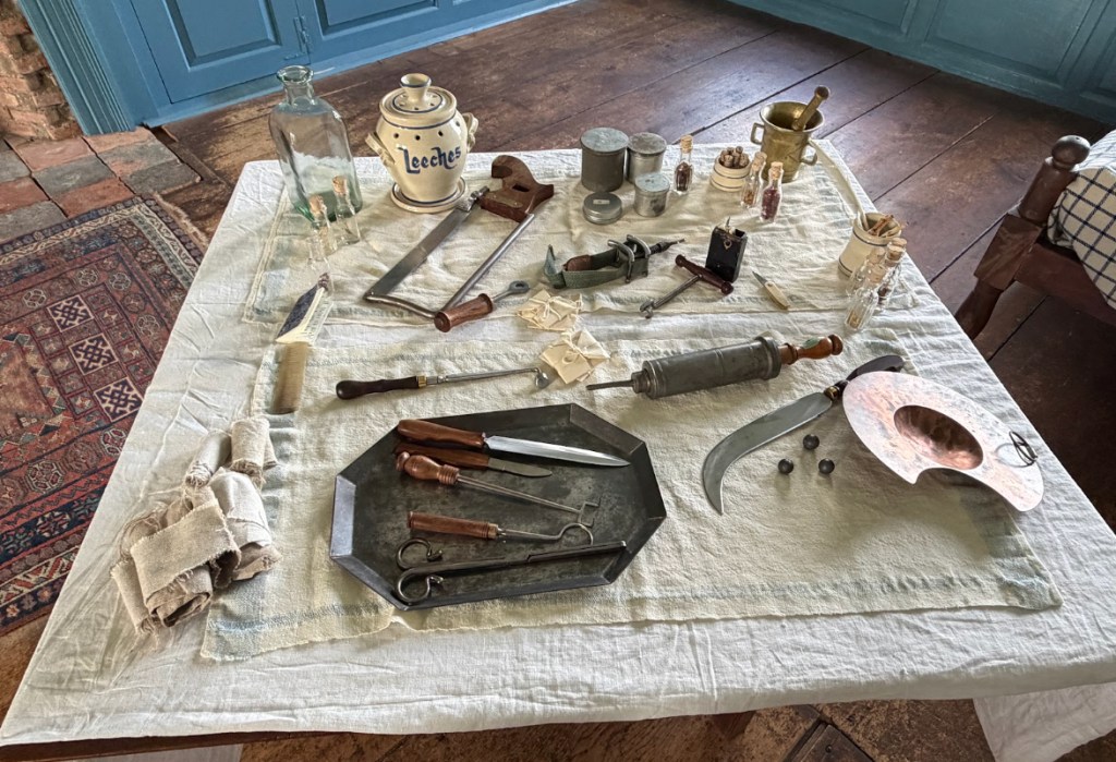
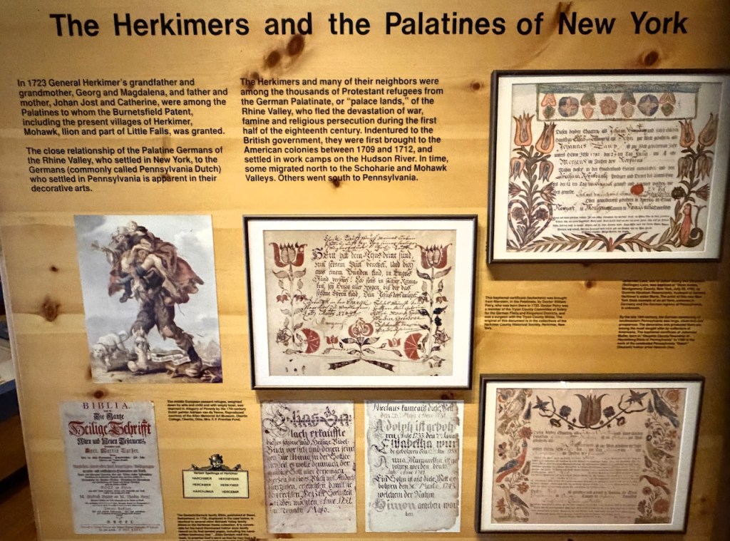
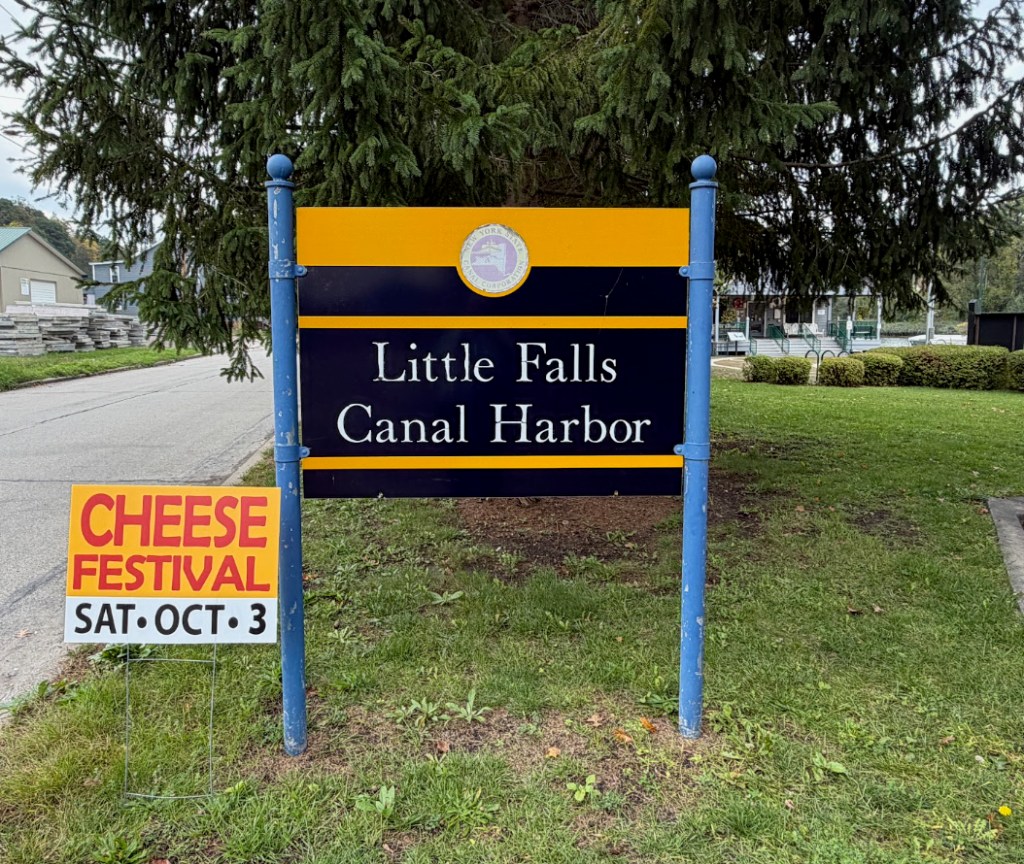
Lunch was held at the Little Falls Canal Harbor. The Study Tour Guide has this about this building: “If the plans had truly been realized, Little Falls was to have a terminal warehouse similar to the grand structure that still stands in Whitehall. Because of wartime necessities, a temporary freight house was erected, the structure that is there today. The terminal, one of several in the valley to provide access to the new Barge Canal, was started under Terminal Contract 3. The contract specified a harbor and dock wall on the south side of the Mohawk River, west of the Hansen Avenue bridge. Work began in November 1912 and was practically completed by the end of 1913. The contract for the freight house (T-208) was let in May 917 to Kennedy and Scullen of Cohoes, NY. The building was finished by summer or, at least, finished temporarily. Another contract was let the following summer to the same partnership to put an extension of the building. That work was completed in November 1918.”
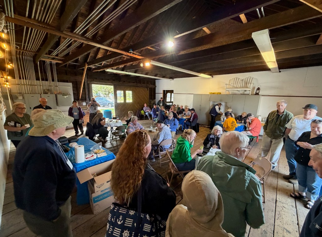
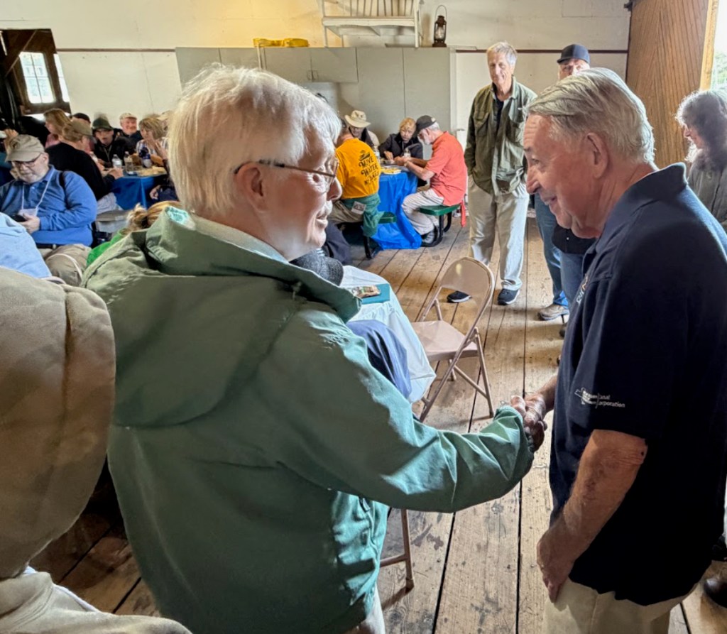
Lunch was graced with the presence of Tom Ryan.
This is installment 2 of September 2026 Study Tour report. I look forward to your comments.
Many thanks to Ted for sharing these photos.


Leave a Reply