You might enjoy looking at this 1821 map, stated as showing Upper Canada, today referred to as Ontario. Lower Canada is now called Quebec.
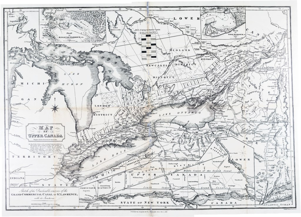
In fact, though, the very detailed map shows a lot of detail along what we now call the canal corridor on NYS. For example, it shows the Western Canal as “finished in 1820.” It also shows the “line of the Great Western Canal,” which I suppose means it was not finished, per that map.
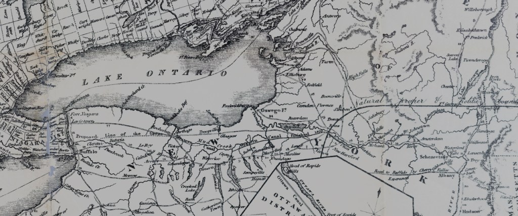
Given my areas of familiarity, I’m wondering what happened to that name and what area it refers to in today’s cartographic divisions.
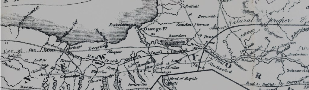
What do you see?
Dispatches is always looking for correspondents and ideas/images for posting.
x
x


Leave a Reply